
Leesburg Neighbors: Block Source Layers
A block question has several layers. Loudoun WebLogis supplies parcel geometry, adjoiners, plats, and distance results. The assessment route supplies parcel and account context. Election records use locality and district, rather than a public street-browse function. The Town subdivision map provides a dated community-name layer. Thomas Balch Library provides historical material. These sources describe land, official districts, community context, or a dated record. They do not identify every person who may be at an address.
| Block source | What it can show | Access and limit |
|---|---|---|
| Loudoun WebLogis | PINs, shared boundaries, plats, and map relationships | Public viewer by address, PIN, or map click |
| WebLogis distance tool | Parcels within a selected distance | Maximum one mile or 5,280 feet; labels can be suppressed |
| Loudoun assessment search | Parcel and assessment context | Public portal, with current-date and maintenance cautions |
| Virginia election records | District or precinct research routes | Authorized status check or regulated list product |
| Town subdivision map | Named communities on a dated planning map | January 30, 2012 snapshot, not a membership roll |
| Balch local collections | Historical notices, house files, maps, and cemetery context | Collection-specific and dated |
The distinction between a parcel owner and an occupant matters. A deed, assessment account, or mailing field documents a recorded relationship, not a social connection or household roster. Record the PIN, direction of the adjoining boundary, plat reference, query date, and source. This makes the block map repeatable without creating an individual profile.
WebLogis Defines Leesburg Neighbor Geometry
WebLogis search help documents Find Address with autocomplete, parcel search by a 9- or 12-digit PIN, map selection, assessment search, parcel and plat-file information, adjoining parcels, and distance tools. A 12-digit PIN is reduced to the first nine digits for tile behavior. After selecting a parcel, use the map relationship and plat before assigning a direction such as north, rear, common area, road, or outlot.
The WebLogis parcel viewer capture shows the public parcel-and-adjoiner setting used for a bounded Leesburg neighbor check.
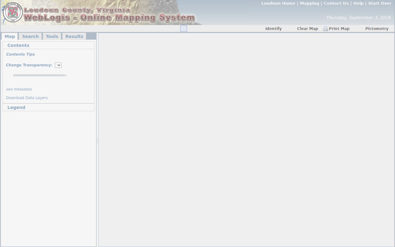
The map supports a geometry question. It does not make a boundary relationship proof that two owners are socially connected.
Use a small radius with care. WebLogis caps its distance buffer at 5,280 feet, or one mile. When more than 50 parcels are returned, labels may be suppressed. The viewer marks Get Owner Address List as internal only, so it is not a public route for compiling an owner-address list. Print and clear controls are available for a selected result set, but a retrieved map remains a dated view.
Note: Preserve the search date because parcel geometry, assessment links, and public viewer functions can change after a map is checked.
Map a Leesburg Neighbor Block
Start with one complete street address and use it only to locate the selected parcel. The public method follows boundaries outward rather than trying to infer a household list. A plat is the recorded subdivision drawing that can explain lots, easements, roads, and common areas. A PIN is the parcel identifier used by the county map and assessment systems. Keep each parcel as its own record, especially where a garage, parking area, road, or common space has a separate PIN.
- Find the address in WebLogis, then record the selected parcel's PIN, situs address, and query date.
- Choose the adjoining-parcel or parcel-and-adjoiners option and note each shared boundary direction and adjoining PIN.
- Open the plat-file information and assessment link to compare the parcel geometry, tax-map context, and current reference fields.
- For a larger named-street record trail, use the Leesburg street directory rather than extending a neighbor check into a whole-street profile.
Where an apparent gap appears, check whether it is a road, undeveloped parcel, deactivated account, outlot, common area, separate garage, or a street-name variation. A parcel map may show a legal boundary that looks unlike a block in daily use. The map, subdivision plat, current deed, and assessment record answer different parts of the question.
Process flow. Address to PIN, PIN to plat and adjoiners, then each adjoining PIN to its own dated parcel context.
Leesburg Neighbor Voter Limits
Virginia's voter status service has no public browse-by-street mode. The official status form requires first name, last name, date of birth, last four digits of a Social Security number, locality, and an affirmation that the request is for the voter or an expressly authorized user. It is a personal status, polling-place, district, absentee, or voting-history service. It is not a way to identify people around an address.
Virginia Code §24.2-444 governs voter-list products and excludes Social Security numbers, protected address material, declination information, registration-agency identity, and the day and month of birth. The separate voter-list request form uses declared client and use categories plus locality, town, district, election, and date filters. A valid block map can be paired with district or precinct context, but it cannot establish voter eligibility, participation, or private affiliation for each parcel.
Leesburg Neighbor Community Names Need Plat Checks
The official Town subdivision map, dated January 30, 2012, names many communities, including Beacon Hill, Greenway Farms, Exeter, Villages at Leesburg, Potomac Station/Crossing, River Creek, and Lansdowne. It is a planning snapshot. It does not establish a current association boundary, an incorporated association, or a current membership list. A recorded plat and parcel geometry are the first checks when a community name appears in an address search.
| Community layer | Useful public context | What it does not establish |
|---|---|---|
| Town subdivision map | Named community or subdivision as of its map date | Current boundary or association status |
| Vantage Pointe site | Public-facing community context | A public member directory |
| Greenway Farms HOA site | Public rules, calendar, contacts, or documents when offered | Permission to republish household information |
| Exeter HOA site | Private community context | An official townwide association index |
| Selma Estates HOA site | Public-facing association context | Proof that a private roster is public |
No official Town umbrella directory of neighborhood associations, HOA membership, or complete association boundaries was located. Community sites may offer public rules, forms, event details, management contacts, or calendars. Treat those as context only. A private community name can differ from the Town map name or the subdivision plat name.
Compare the Town map label with the parcel's recorded subdivision and plat reference before using a community name in a block note. A planned community can include roads, common parcels, and sections that do not line up with a familiar neighborhood label. If the sources conflict, retain both names with their dates and let the recorded plat control the land-boundary question. This keeps a Leesburg neighbor search focused on documented geography rather than an assumed private relationship.
Balch Material Dates a Leesburg Neighbor Block
A block has a history as well as a current parcel map. Thomas Balch Library holds historic-house files, architectural surveys, maps, newspapers, cemetery indexes, family files, tax materials, visual collections, and oral histories. Its microfilm index lists local newspaper runs, town minutes, deeds, wills, telephone materials, and Leesburg Sanborn years from 1886 through 1930. These sources are useful for tracing a place across time when their collection, date, and page are retained.
The Leesburg cemetery ArcGIS service is a historical place layer with cemetery names and date or status metadata.
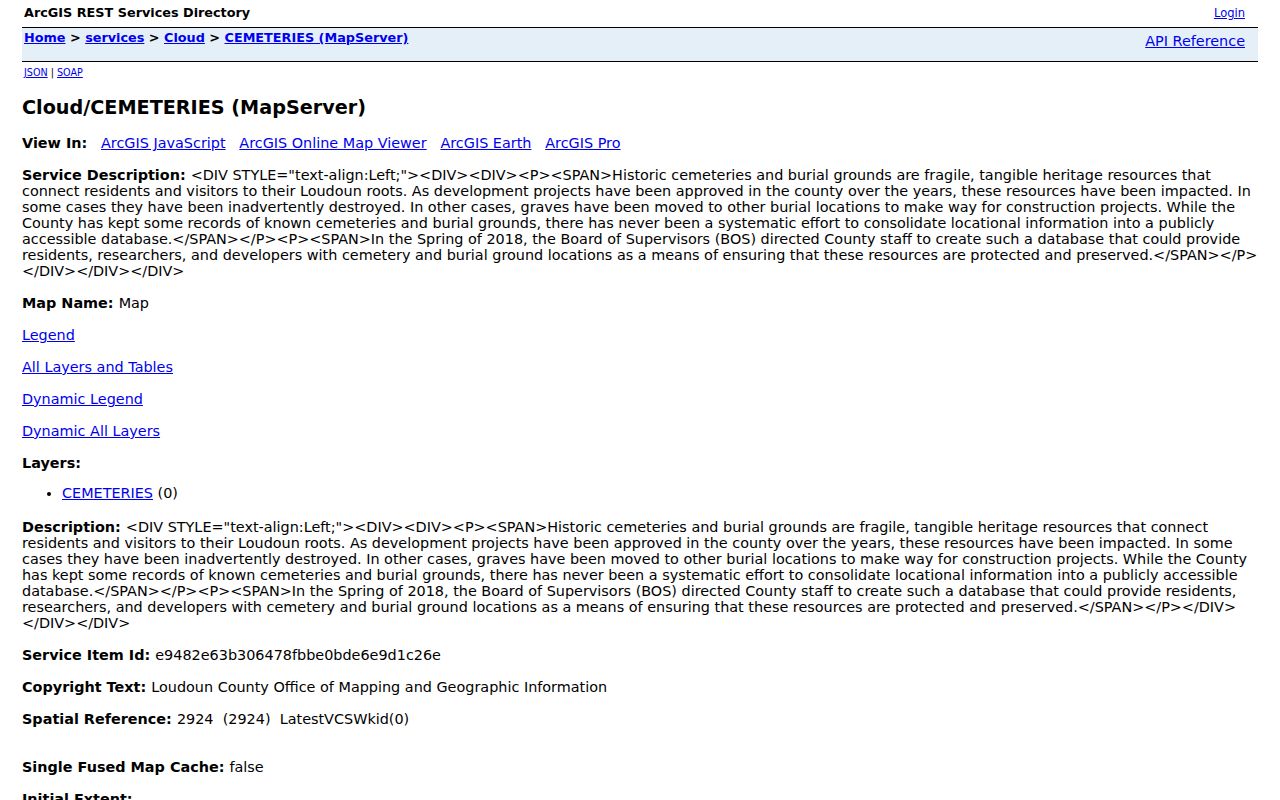
A cemetery location can help place an obituary, family file, or historic notice in local context. It is not evidence about current neighbors or a present address.
Use newspapers and house files for the precise date they document. A historic mention, old telephone entry, map label, or cemetery record can clarify a former block pattern, but it cannot be carried forward as a present-person claim. Balch's sources are strongest when paired with the current PIN, a deed reference, and a clearly dated historical item.
Compare Leesburg Neighbor Sources Carefully
Official sources are best when the question is bounded: which parcels share a line, what plat governs a lot, which district covers an address, or when a historic notice appeared. Commercial neighbor tools often merge public filings, marketing data, and older address material into a broad result. That category can be stale, can merge similarly named people, and may omit the record date or custodian. A mapped relationship should be verified with the public parcel, plat, or original record that actually supports it.
| Official record route | Commercial compiled result | Safer interpretation |
|---|---|---|
| PIN, parcel geometry, and plat reference | Possible nearby names or addresses | Use the official map for the shared-boundary question |
| Authorized individual voter status | Broad people or address matching | Do not turn an individual service into a block list |
| Dated newspaper, house file, or cemetery source | Undated profile summary | Keep the original collection, page, and date |
Note: A narrow official record can be incomplete, but its custodian, date, and purpose make its limits visible and checkable.
Leesburg Neighbor Privacy Boundaries
Virginia FOIA is for existing public records, not a request for a newly created neighbor report. Voter, vital, court, motor-vehicle, and protected-address records each have separate access limits. The Virginia Address Confidentiality Program under Va. Code §2.2-515.2 provides substitute-address protection and mail forwarding for eligible survivors who recently relocated after domestic violence, stalking, sexual violence, child abduction, or human trafficking. Do not expose a protected physical address from a parcel, voter, court, or business source.
Use only the geometry or record detail needed for a lawful personal question. Do not create an individual aggregation from parcel, community, court, historic, or voter material. Non-title occupants, household members, utility customers, delivery recipients, private association participants, and protected voter addresses are not established by a parcel result. Corrections, redactions, and record-access questions belong with the office that holds the original record.
Lawful use. Use Leesburg neighbor records for careful property, history, and civic context. Never use a map or record detail to stalk, harass, intimidate, or expose a protected person.